
England's Historic Seascapes: Withernsea to Skegness
Museum of London Archaeology, 2010. https://doi.org/10.5284/1000104. How to cite using this DOI
Data copyright © Historic England unless otherwise stated
This work is licensed under the ADS Terms of Use and Access.


Primary contact
David
Bowsher
Director of Research
Museum of London Archaeology
Mortimer Wheeler House
46 Eagle Wharf Road
London
N1 7ED
UK
Tel: 020 7410 2285
Resource identifiers
- ADS Collection: 935
- ALSF Project Number: 4730
- DOI:https://doi.org/10.5284/1000104
- How to cite using this DOI
Haile Sand Flat Character Area
Present Day Form
Haile Sand Flat character area is located in the western part of the study area in open water on the edge of the Humber Estuary mouth. It is next to Haile Sand character area and adjacent to the Cleethorpes to Mablethorpe coast. The geology of the area is a wave cut platform of Cretaceous Chalk overlain by glacial till (clay, sand and gravel debris deposited from ice sheets) called the Upper Marsh Till along with some early Holocene deposits of peat known as the Huttoft Beds. The Huttoft Beds formed in the hollows of the Mesolithic land surface which developed on the Upper Marsh Till. The early land surface was inundated by a marine transgression leaving a clay deposit known as the Ingoldmells Beds. The Beds have been dated to periods between the Bronze Age and the Roman period and represent localised marine flooding over the area as the sea level rose.
The action of the sea in this area causes accretion rather than the erosion seen on beaches further to the south between Mablethorpe and Skegness. As a result the coast is characterised by wide sandy beaches, muddy areas, dunes and salt marsh where mariculture activities take place along with recreational activities. By contrast the beaches further to the south require regular replenishment and are used almost solely for recreation purposes. The actions of the sea have strongly influenced patterns of historic land/sea use in the area.
Sea Use: Present
The dominant characteristic of the area is navigation because of its position in open water at the mouth of the estuary. The main channel up the Humber passes through part of the area. Although mostly below sea level, the area does contain drying areas which pose a hazard to navigation.
Lots of fishing industry is carried out in the area at various times throughout the year. There are sole spawning areas along with ell fishing, whitefish longlining and sole, sprat and plaice nurseries. Sole trawling also takes place in the area. The area also falls with the Humber Estuary mouth SSSI.
Sea Use: Past
It is not documented exactly how long the navigation, fishing and maritime activities have been carried out in the area but it is likely to have taken place for as long as human beings have occupied the area. These particular activities, therefore, have considerable time depth.
Archaeological Potential
The area has potential for the presence of drowned land surfaces resulting from the fact that sea level has fluctuated between -120 metres and +10 metres over the past 500,000 years. From the period 500,000 BP to 22,000 BP (before present), human population levels were low, and little more than stray finds may be expected, although these may still be of considerable archaeological importance.
From 22,000 BP to 2100 BP parts of the North Sea were dry land and human population levels were higher. Over the last 6000 years (if not more), humans have used sea faring vessels and so wrecks and related material may lie buried in the intertidal area or beneath the sea floor.
Character Perceptions
The area is important for mariculture industries and is a named location on navigation chartsThe area is important for mariculture industries and is a named location on navigation charts.
References
Brenchley O J, Rawson P F, 2006 The Geology of England and Wales 2nd edition
Lincolnshire Coast and Marshes: www.naturalengland.org.uk/Images/jca42tcm2-21141_tcm6-5012.pdf
en.wikipedia.org/wiki/Humber_Forts
http://marinas.com/view/landmark/107_Haile_Sand_Fort_Lincolnshire_GB
Images
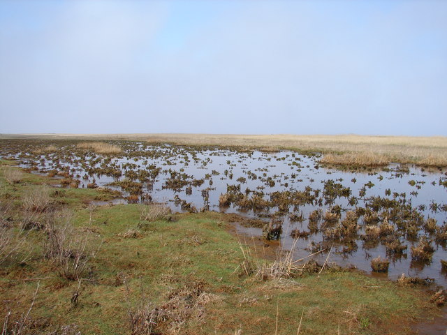
Haile sand flats
Web: www.geograph.org.uk/photo/1249798
